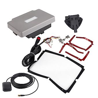
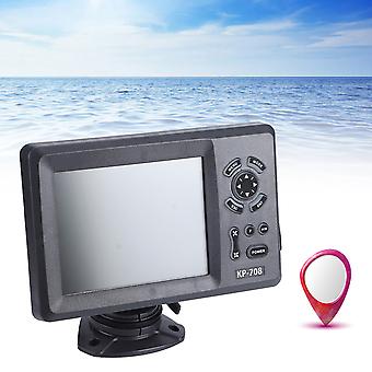
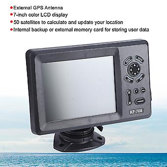
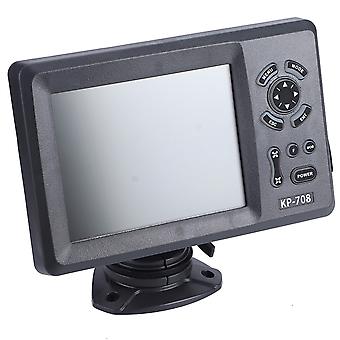
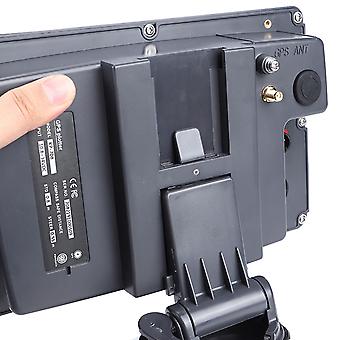
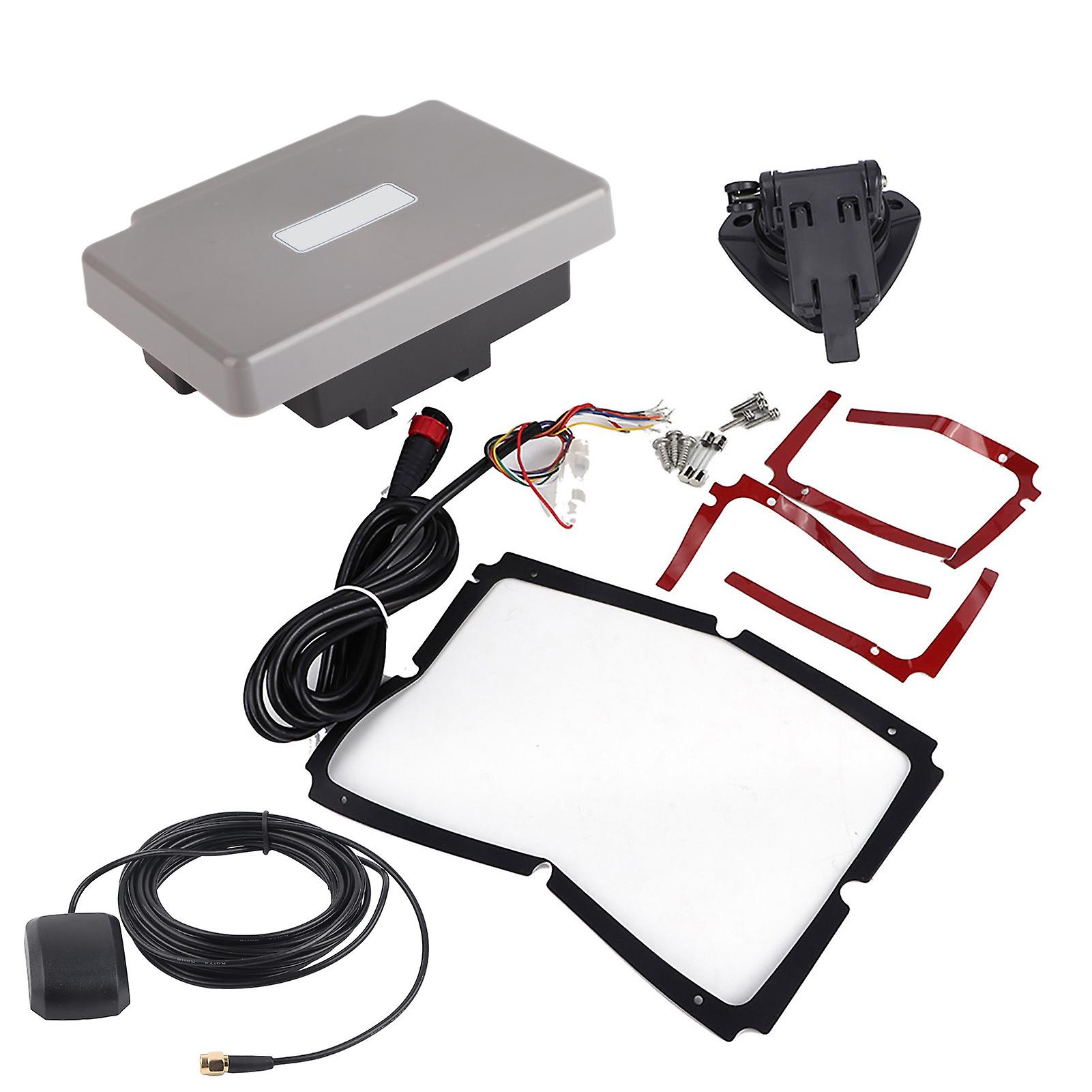
Transponder Combo Navigator,7in Navigation Chart Plotter GPS Navigation GPS Chart Plotter Rapid Response
ILMAINEN toimitus
Transponder Combo Navigator,7in Navigation Chart Plotter GPS Navigation GPS Chart Plotter Rapid Response
- Merkki: Unbranded
Transponder Combo Navigator,7in Navigation Chart Plotter GPS Navigation GPS Chart Plotter Rapid Response
- Merkki: Unbranded
14 päivän palautuskäytäntö
14 päivän palautuskäytäntö
Maksutavat:
Kuvaus
Transponder Combo Navigator,7in Navigation Chart Plotter GPS Navigation GPS Chart Plotter Rapid Response
- Merkki: Unbranded
- Kategoria: GPS-navigointijärjestelmät
- Fruugo ID: 278691211-619782560
- EAN: 9797733519282
Toimitus ja palautukset
Lähetetään 10 päivän kuluessa
-
EXPRESS: ILMAINEN - Toimitus välillä ti 06 tammikuuta 2026–ke 07 tammikuuta 2026 - ILMAINEN - Nopeimmin
-
STANDARD: ILMAINEN - Toimitus välillä ti 13 tammikuuta 2026–ti 20 tammikuuta 2026 - ILMAINEN
Lähetyspaikka: Kiina.
Teemme parhaamme varmistaaksemme, että kaikki tilaamasi tuotteet toimitetaan sinulle toiveidesi mukaisesti. Jos sinulle toimitettu tilaus kuitenkin on puutteellinen tai sisältää tilaamattomia tuotteita, tai jos et jostain muusta syystä ole tyytyväinen tilaukseesi, voit palauttaa tilauksen kokonaan tai osittain. Saat tuotteista täyden hyvityksen. Näytä koko palautuskäytäntö